Expressive map design: OGC SLD/SE++ extension for expressive map styles
Abstract
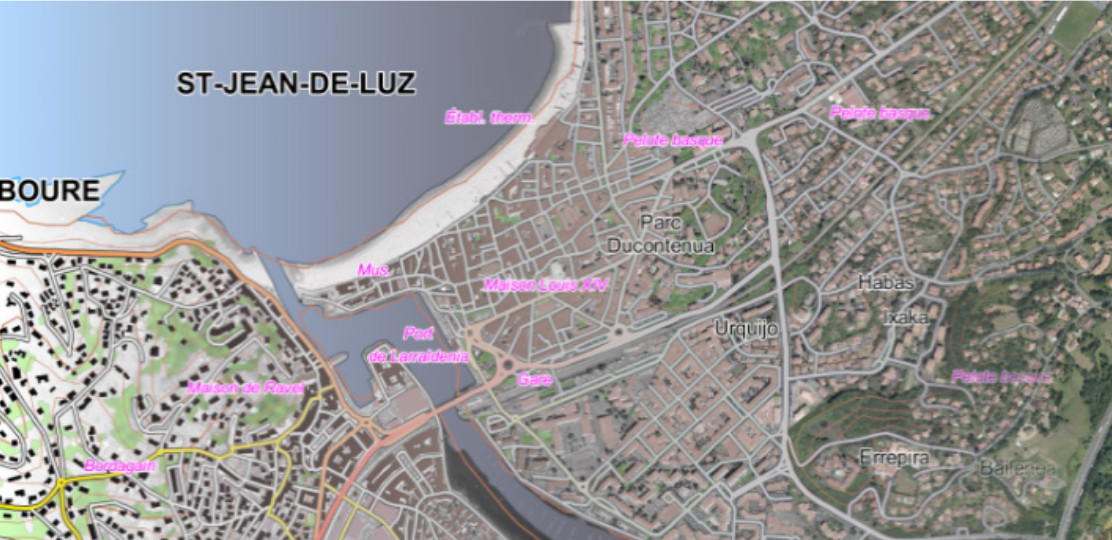
In the context of custom map design, handling more artistic and expressive tools has been identified as a carto-graphic need, in order to design stylized and expressive maps. Based on previous works on style formalization, an approach for specifying the map style has been proposed and experimented for particular use cases. A first step deals with the analysis of inspiration sources, in order to extract ‘what does make the style of the source’, i.e. the salient visual characteristics to be automatically reproduced (textures, spatial arrangements, linear stylization, etc.). In a second step, in order to mimic and generate those visual characteristics, existing and innovative rendering techniques have been implemented in our GIS engine, thus extending the capabilities to generate expressive renderings. Therefore, an extension of the existing cartographic pipeline has been proposed based on the following aspects: 1- extension of the symbolization specifications OGC SLD/SE in order to provide a formalism to specify and reference expressive rendering methods; 2- separate the specification of each rendering method and its parameterization, as metadata. The main contribution has been described in (Christophe et al. 2016). In this paper, we focus firstly on the extension of the cartographic pipeline (SLD++ and metadata) and secondly on map design capabilities which have been experimented on various topographic styles: old cartographic styles (Cassini), artistic styles (watercolor, impressionism, Japanese print), hybrid topographic styles (ortho-imagery & vector data) and finally abstract and photo-realist styles for the geovisualization of costal area. The genericity and interoperability of our approach are promising and have already been tested for 3D visualization.